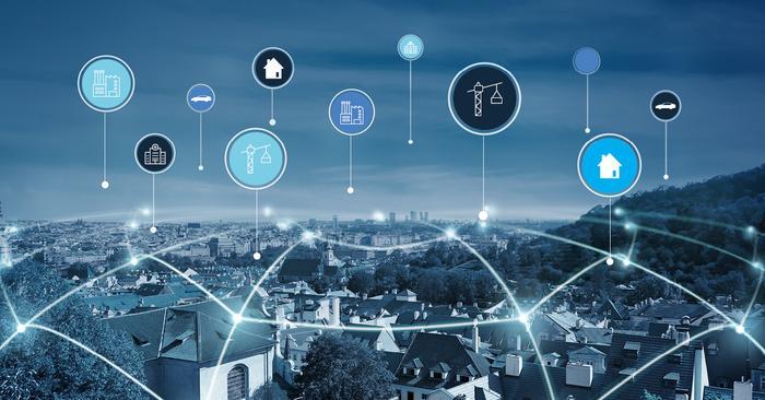
The (Geospatial) Challenge
We live in challenging times. We now understand that human (in)action has seen the level of carbon emissions almost double in the past decade – slowing ocean circulations, Texas freezing, a warmer planet, all symbols of the trajectory we’re on. The UK government has recognised this problem and has committed to achieving net zero carbon emissions by 2050. As government, industry and individual citizens take action ‘location’ – the geospatial data, tools, technologies and talents to leverage them – is at the heart of understanding the challenges and enabling solutions. While understanding our planet is an inherently geospatial exercise, beyond the geospatial priesthood it can be a nebulous one. Looking at the role, value and utility of location data through a focused lens showcases that we all live a life geospatial.
An Urban Transport Lens
Our experience of ‘place’ is often defined by its mobility. While concerns – privacy, surveillance, ethics, data sharing, autonomy – remain, there is no question that harnessing location data is fundamental to reshaping how cities function, never more than in the shifting dynamics of a world responding to the vicissitudes of Covid-19. Investment and research into future mobility will advance the acceleration to low carbon economies with decreasing congestion and improving air quality among the benefits.
Electric vehicle infrastructure – owners will be aware of Zap-Map for their charging needs but range anxiety and broader cynicism combine with vehicle cost and the fact that nearly 30% of households would need on-street charging to slow adoption. Perhaps this will accelerate a shift to an even more resource efficient PAYG personal transport model (our cars are idle 95% of the time, what a waste) but in the meantime location – of demand (demographics, addresses, street restrictions) and of supply (energy networks, capacity, domestic solar, V2G) – is core to the connected kerb and roll out of public charging infrastructure.
Upgrading existing public transport – especially in a disease-fearful world how can public transport provision adapt to the new patterns of work. Users will expect transport systems to adapt to the #buildforwardbetter narrative in towns and cities with more localised and time-limited commute patterns. Providers need to work with local authorities to develop new routes, revised frequencies, different fleets. Who goes where is a geospatial question.
Adapting urban environments – “saving the centre” requires smart thinking by urban leaders to protect their revenues (rates, footfall etc). What is their asset base, what incentives can they support, how can capital and operational expenditures be optimised through automation, for example of parking systems and enforcement? Planners, retail experts, housing specialists and legal advisers are all busy with geospatial data to try to balance these conflicting demands.
The emerging autonomous vehicle juggernaut - much of the investment in enabling self-driving developments focus on the standards and mechanisms for safe and successful exchange of data in real-time between cars and with their environment, both the relative, dynamic one and the more slowly changing absolute one.
The dumb driver - the likes of Waze already represent the nature of an autonomous future where, in areas of heavy congestion, traffic is re-routed using real-time data or infrastructure. The advent of driverless PAYG utility transport will use dynamic location-based information not only for such routing choices but also for deployment, pricing and charging.
Multi-modal transport - can have a big impact on the social, ecological and economic health of a nation. In a hybridised ‘working from anywhere’ world, cycling and walking will become an increasingly important part of the mobility mix, alongside PAYG electric vehicles - rented and shared, 2-wheeled or 4, micro-mobility and CAVs. To sustain this ambition more journeys in the future will require large amounts of information to talk to each other, across devices and systems.
Efficient multi-modal mobility will depend on data sharing. The geospatial community has been wrestling with this tension for a long time and brings an array of expertise and thinking to the security and privacy concerns in the context of individual rights and public safety.
Transport is the single biggest contributor to the UK’s carbon emissions and we haven’t looked at freight, delivery van culture, rail, aviation or shipping. Reducing the number of vehicles and the number and length of journeys on our roads by creating optimised multi-modal transport systems will help ease congestion, increase air quality and reduce emissions. Geospatial data and expertise is key to innovative mobility thinking and achieving these outcomes.
Making it all work
Sadly, there is no single activity we can undertake that will magically reduce carbon emission and reach NetZero. It is only through collaboration and data sharing that evidence-based decision making will drive change. As the volumes of location data surge so the demand for geospatial skills – strategic, technical and operational - across the transport domain (and most other industries) continues to grow. Agriculture, supply chain, logistics, insurance, planning, energy. Infrastructure – these and other sectors all depend on or have touch points with our transport networks and therefore on carbon emissions – that demand for geospatial skills is as ubiquitous as location data itself.
You can read more insights from techUK's #GeospatialFuture campaign here!