Powering the world with Geospatial by integrating standards and innovation

It’s 2021, and it seems that “Geospatial” is finally being widely recognised for its unparalleled ability to unite and organise humanity’s ever-expanding collection of heterogeneous data. Today, with our voracious hunger for data, information, and actionable intelligence, we actively generate data about nearly every aspect of human activity, from where I went for lunch today (well, maybe not today), to how our planet’s climate is changing over time. Myriad technologies, in, on, and above Earth - from Underground Infrastructure, to Connected Autonomous Vehicles, Sail Drones, and the Internet of Things, to Unstaffed Aerial Systems, Earth Observation satellites and “New Space” mini-sats - are constantly generating useful data that, while collected independently, can be integrated using the commonality that each dataset concerns a location somewhere in space and time.
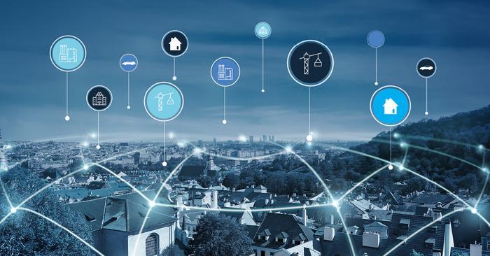
Empowered by new (and not-so-new) technologies and driven by innovation, we are building applications previously only dreamed of. One example is Urban Digital Twins, which connect, combine, and contextualise all sorts of information from across government, private and other custodians concerning retail, real estate, energy, health, infrastructure (above- and below-ground), weather & climate, transport, safety, and more. Digital Twins at the Urban scale have the potential to transform how cities are planned, built, and managed, and to deliver to citizens more livable, inclusive, safe, resilient, and sustainable urban environments.
Another example comes from the combination of New Space and advancements in Artificial Intelligence and Machine Learning. We are now able to not only better monitor and respond to disasters such as forest fires, dust storms, and floods, but we are also better able to predict and prepare for such emergencies - saving lives in the process.
And of course, the ongoing COVID-19 pandemic has been a driving force in underscoring the power of Geospatial for modelling impacts, informing effective quarantine/de-quarantine plans, the tracking of resources, the monitoring and refinement of supply-chains, and, most recently, informing equitable vaccine distribution approaches.
Indeed, it’s humbling to see that Geospatial - as a community, as a practice, and as a suite of technologies - is central to addressing global threats at a global scale! However, the challenges are not over. We continue to struggle with the ability to seamlessly integrate diverse data to support the complex decision-making, analysis, and prediction processes that help us to continue to make sense of, and exist in, our world.
The only way to support such complex data integration, at scale, is via standards. Notably, in support of today’s rapid pace of innovation and change, standardisation is taking on a new meaning: it’s now less about standardising specific technologies and more about enabling cross-domain collaboration and solid foundations upon which innovation can thrive.
Traditional standards development is being replaced with an approach that integrates innovation and standardisation – an approach that is more agile, more proactive, and even more focused on community engagement and partnership building. Such an approach is designed to support rapid innovation by producing standards that adapt in-step to support tomorrow’s technologies just as well as they support today’s.
As CEO of OGC, this is my opportunity to invite you to join us to be part of this emerging integrated approach to innovation and standardisation. The more voices that are represented in this process, the more useful the outcomes will be, the more likely they are to be adopted, and the bigger their impact will be. With Geospatial playing a critical role in today’s complex interconnected world, there now comes an urgency for us to collaborate to ensure that location information remains aligned with the FAIR principles of being Findable, Accessible, Interoperable, and Reusable. Together we can use our Geospatial expertise to create and maintain the data foundations that support technologies and decisions that affect us all.
You can read more insights from techUK's #GeospatialFuture campaign here!

Laura Foster
Laura is techUK’s Associate Director for Technology and Innovation.


