Digital justice – how Location Intelligence and GIS can accelerate the digital transformation of justice and solve today’s challenges too.
Today, and in the future, the justice sector has a vast set of challenges to overcome. These challenges are varied. They are being geographic, people, process and technology based which means there are huge opportunities to solve them using Location Intelligence and GIS.
In prisons, it is expected that there will be 96,000 people in prison by 2026. The current operating capacity of our prisons is around 78,000 places, with an 18,000 place increase underway thanks to £4bn investment into 4 new prisons and expanding others over the next few years. A huge infrastructure programme and investment which is a critical to how justice meets future demands. Alongside this, it is estimate that the current backlog of maintenance required on the existing prison estate is around £1bn. These are vital improvements for improving prisoner, staff and visitor wellbeing and safety which has also been significantly affected by the pandemic. As education and work programmes, family visits and other purposeful activity has been suspended HMPPS reported a significant drop in prisoner mental health. In the 12 months to September 2020 there were 67 self-inflicted deaths and just under 59,000 self-harm incidents in our prisons. The location of these prisons, the management of the assets and people within them, and the proximity to engagement opportunities & prisoners’ families are vital components to transforming the way prisons work in the future to improve prisoner wellbeing, safety, and their opportunities. Location is often an attribute in data that is hiding in plain sight and underutilised.
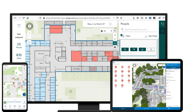
Location intelligence and GIS can be used to capture, visualise, analyse and gain understanding from the information our prison systems hold to uncover efficiencies and proactively manage the maintenance of the estate. Like using mobile apps to collect and maintain digital records about the assets within our prisons so that maintenance activity can be prioritised and kept up to date. Or utilising Building Information Modelling (BIM) data from the new prison developments within a GIS to map the inside of prisons and using spatial analysis for managing prisoner and staff distribution to optimise where people are and reduce risk conflict. We are effectively talking about creating a “digital twin” of the prison estate, that uses location as way to join up multiple datasets to create a digital backbone to how we manage our prisons and improve prisoner experiences. Industries like Retail, Engineering, Construction, Utilities and Housing are already using location intelligence and GIS in these ways to accelerate their digital transformations, so what is stopping the Justice sector?
Another issue for prisons is the use of Drones in delivering illicit goods into prisons. Using real-time GIS with drone detection sensors the skies around our prisons can be monitored and analysed in real-time to identify suspect drone activity and identify locations of the pilots, improving the protection of our prison’s security.
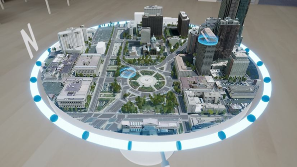
In our courts, the pandemic has caused a large increase in the back log of cases, delaying justice and closure for victims. The acceleration of video hearings has helped mitigate some of this in civil courts however this is much more challenging in criminal courts. Particularly, where there are cases that involve more than one defendant (multi-hander cases) which may involve multiple court rooms being used reducing the capacity for other trials to take place at the same time. In September 2020 there were approximately 130 cases involving 7 or more defendants. The creation of nightingale courts, installation of plexiglass in the docks, video hearings from prisons contribute to solving the issue, however, the location of those involved in cases related to the location of suitable courts could identify opportunities to improve the efficiency in reducing the backlog. Using Location Intelligence and GIS HMCTS could optimise the way cases are allocated geographically based on multiple factors to improve efficiency while keeping people safe. Looking further into the future, the accelerated digitisation of courts and remote hearings does bring other benefits around using new, innovative digital media presentation techniques such as Virtual Reality. In the police we see increasing use of drones, high resolution cameras, and laser scanners to capture data from a crime scene. The use of 3D GIS with VR is becoming common place in Architecture, Engineering, Construction and Planning to visualise new developments. In the future, the use of 3D GIS to create detailed exhibits viewed via VR in court will become a reality.
Lastly, in probation, the reunification of the probation service is due this summer bringing with it large scale geographic transformation. As we come out of the pandemic, to improve prisoner & probationer mental health and wellbeing Location Intelligence can be used to identify opportunities for them to engage in local education and work programmes and model the accessibility for families to visit the prison based on accessibility, sentencing requirements, suitability, and other factors. Case loads for probation officers remains at very high levels and using a location-based approach to managing this would help identify further efficiency gains based on the new target operation model, and the use of accessibility datasets and suitability modelling analysis within a GIS. HMPPS could use Location Intelligence and GIS to better rehabilitate and reintegrate offenders into our society.